

The NAM is starting to get involved in the forecast, too, and hot temperatures look to be on the way even earlier than I first expected, but not to the same degree as what was put out yesterday. The model is forecasting temperatures in the upper 80s to low 90s by Tuesday, and potentially the low-to-mid-90s by Wednesday. This should be a very humid heat, too, with lots of moisture to make it feel even hotter. Dewpoints in the 60s and 70s will make things feel somewhat uncomfortable. The good news is that it definitely looks less oppressive by Friday, where as yesterday these conditions were looking as though they'd last beyond next week. The absurdly high 80° dewpoints appear to be gone from the forecast, too, though I never put too much stock in those. We do not currently look likely to hit 100°F anymore, either.
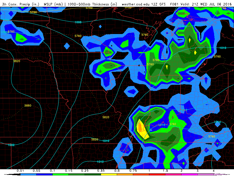
I'm still hoping that this week will mark the end of our abnormally dry conditions this summer. We have the opportunity for several rounds of rain and thunder in the Great Lakes region as several potent waves make their way toward Michigan beginning Wednesday. This potential should last until Friday and into the weekend. It's going to be all about track and timing. The odds are with us this time around that at least one of these waves will produce something. I'm hoping we'll bat 1000 this time around, and be well and mighty drenched by this time next week.
No comments:
Post a Comment