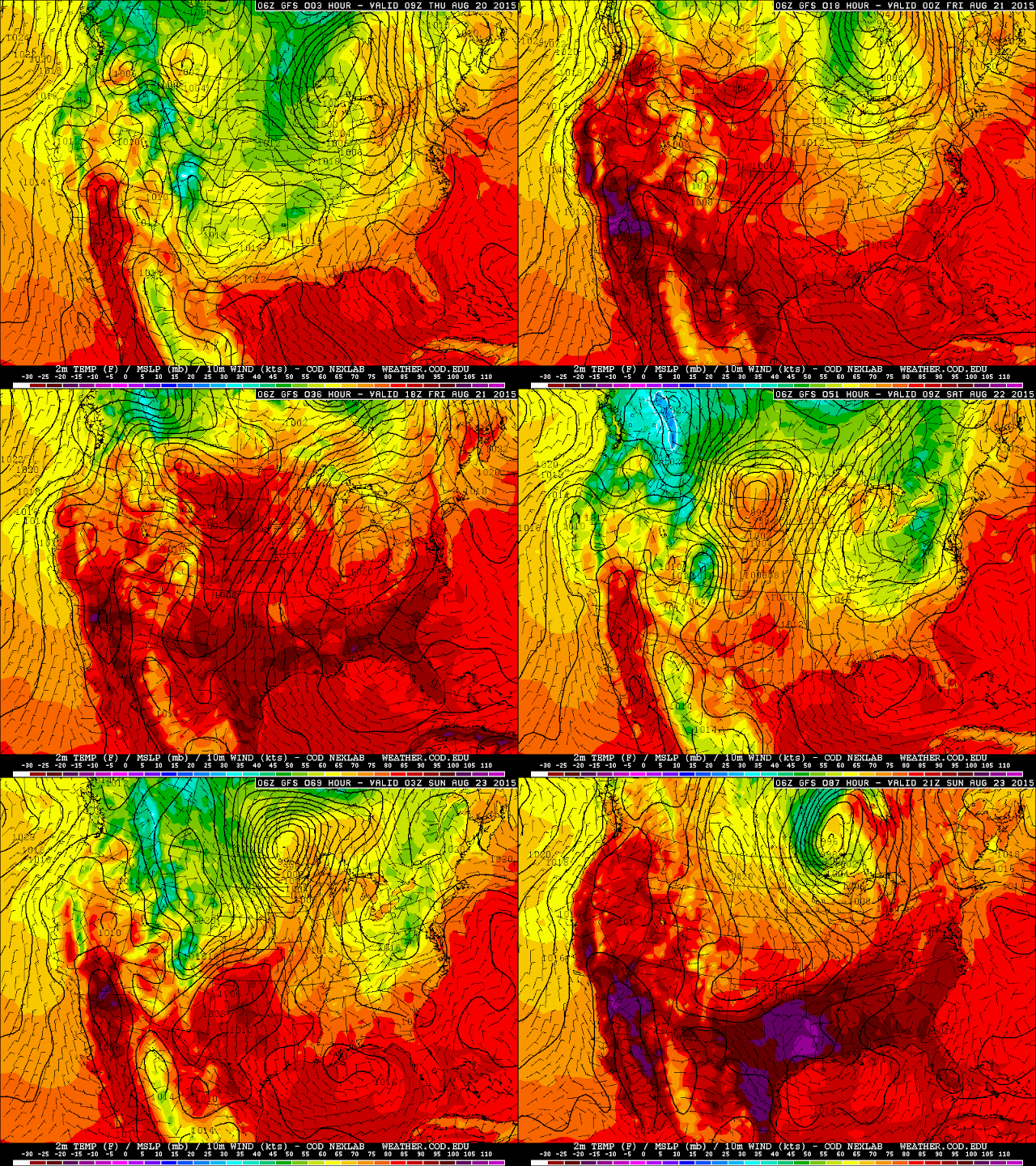
Our next shot at thunderstorms appears to be Sunday, August 23rd, as yet another powerful upper level trough takes root to our west, and a strong surface low is forecast to develop to our north. The GFS is predicting yet another negatively tilted monster, which would again suggest severe weather potential, however the instability forecast is meager over the region at best, leading me to believe that a system even less potent than yesterday's will have a tough time brewing any.
   ...DISCUSSION...
   MODELS AGREE DOMINANT UPPER RIDGE IS EXPECTED TO BUILD NORTH ACROSS
   THE ROCKIES INTO THE EARLY PART OF NEXT WEEK AS NRN PLAINS
   SHORT-WAVE TROUGH EJECTS EWD ACROSS THE GREAT LAKES.  WHILE THIS
   FEATURE WILL LIKELY ENHANCE SEVERE THREAT DURING THE DAY3 PERIOD IT
   APPEARS AIR MASS DURING THE DAY4-5 TIME FRAME WILL BE SIGNIFICANTLY
   LESS BUOYANT DOWNSTREAM ACROSS THE GREAT LAKES/OH VALLEY REGION.
   BEYOND DAY5 SIGNIFICANT DIFFERENCES DEVELOP BETWEEN THE GFS AND
   ECMWF AND PREDICTABILITY DECREASES MARKEDLY.
The NAM looks as though it might be a bit more robust with moisture and associated instability, though just like last time it predicts that the surface low won't be quite as strong as what the GFS is putting out. The next few model runs should shed more light on the situation.


No comments:
Post a Comment